The Problem
The Current Federal Approach Is Wrong for the Big Bend
Washington has committed billions of dollars for border security infrastructure in the most remote and least-crossed part of the southern border—threatening the Big Bend’s extraordinary landscape, cultural heritage, and private property rights.
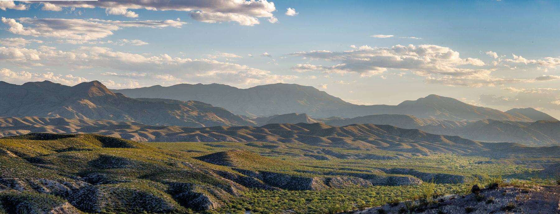
The Big Bend is already a barrier
The Rio Grande in the Big Bend runs through deep canyons, past sheer cliffs, and through hundreds of miles of desert with few roads and fewer towns. The terrain on the Mexican side is equally mountainous and impassable. Crossing on foot means a long, dangerous trek through some of the hardest country in Texas. Crossing it in a vehicle is often impossible.
It is no wonder that few illegal crossings occur here. In 2025, the Big Bend sector accounted for only 1.3% of total apprehensions although it spans more than a quarter of the southern border.
Click a photo to enlarge.
517 milesof border in the Big Bend Sector, roughly a quarter of the entire Southwest border.
Under 1.5%of Southwest border apprehensions over the past five years. About 1.3% in FY2025.
$7 billion+already awarded for barrier projects in the Big Bend Sector.
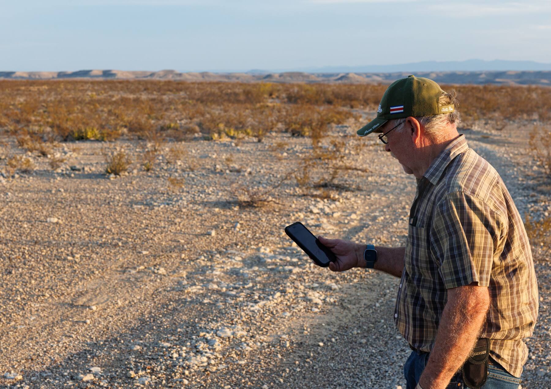
Federal “One Size Fits All” Approach Does Not Fit the Big Bend
The federal plan would impose extensive new border infrastructure on the Big Bend, including 30-foot bollard walls, vehicle barriers, surveillance towers, roads, lighting, and staging areas.
The plans were developed without meaningful input from counties, sheriffs, and landowners who know this ground. To accelerate construction, the Department of Homeland Security waived dozens of environmental, public health, and historic preservation laws.
Federal Approach Will Cause Permanent Damage
Once this fragile landscape is bulldozed, graded, or cut, the damage is permanent.
Archaeology and heritage
The region holds thousands of prehistoric archaeological sites, plus historic multi-generation ranches and river communities. The laws that normally protect them have been waived.
Wildlife and habitat
Border walls and barriers fragment ecosystems and can prevent animals from reaching the river. Animal migrations could be interrupted. Habitat would be destroyed. Success stories like the return of the black bear will be a thing of the past.
Floods and the river
Walls across a floodplain catch debris and act like dams. The Rio Grande’s floods here are sudden and powerful. Currently planned border barriers may make future floods catastrophic.
Parks and public lands
In 2026, bulldozers ripped through parts of Big Bend National Park. Iconic areas along Santa Elena Canyon and Mariscal Mountain were bulldozed for border barrier construction. Parts of Big Bend Ranch State Park and the Wild and Scenic Rio Grande are also slated for construction.
Dark skies
The Greater Big Bend International Dark Sky Reserve is the largest in the world. Lit walls, roads, stations, and staging areas would threaten the region’s famous night-sky tourism and Dark Sky certification.
Livelihoods and communities
Ranching families, farmers in La Junta de los Rios, outfitters, and the towns that depend on tourism all rely on open access to the land and the river.
Federal Approach Violates Private Property Rights, States’ Rights, and Fiscal Responsibility
You don’t have to be a conservationist to oppose this wall. Many of its strongest critics are ranchers and landowners who simply want the federal government to respect their land and their state.
Private property under threat
Landowners in the Big Bend have begun receiving letters from DHS threatening eminent domain using language that is often misleading and coercive. Families who have held this land for generations face losing it, or losing access to their own river frontage.
Washington overriding Texas
Decisions about Texas land are being made in D.C., with waived laws and little regard for the needs or advice of local officials and residents. And it shows — walls where no walls are needed, vehicle barriers where no vehicles can cross, roads and construction over and through archaeological sites, etc. Texans should have a voice in the Big Bend’s future.
Billions wasted
More than $7 billion in no-bid contracts have been awarded for constructing roads and barriers in the least trafficked sector. This money would be better spent on more effective, low-impact measures that will not cause irreversible damage to the region.
Texas land left behind the wall
Walls set back from the river would leave hundreds of thousands of acres and the Rio Grande itself on the far side, effectively ceding Texas land and water to Mexico.
There Is a Better Way
Let Texans Do Texas keeps the border secure with a permanent, locally led system and leaves the Big Bend intact.
Sources
- Big Bend Sector size and FY2025 apprehensions: Fox 7 Austin, Border Patrol data (Dec. 2025); FY2025 share from the LTDT proposal (Oct. 2026).
- Five-year apprehension share, $7 billion awarded, eminent domain letters: Texas Public Radio / NPR (Sept. 14, 2026).
- Laws waived and planned infrastructure: Marfa Public Radio (July 28, 2026).
- Dark skies: Texas Standard (July 20, 2026); DarkSky International.
- Wildlife, flooding, and archaeology: No Big Bend Wall, Big Bend Border Facts.
From Fort Quitman to Amistad
Canyons, ranches, river towns, and some of the darkest night skies in North America. Click a photo to enlarge.